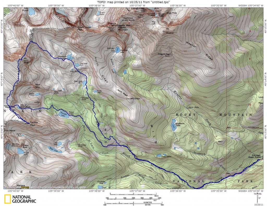
Read the Mount Alice & Tanima Peak trip report for more details and photos!
| Round Trip Distance: 17 miles Hiking Time: 11-15 hours Difficulty: Class 3 with Off Trail Navigation |
Start Elevation: 8,515 ft. at Wild Basin Summit Elevation: Mount Alice 13,310 ft. – Tanima Peak 12,420 ft. Crowd Level: Low |
Directions
The road to the trailhead is off Colorado Hwy. 7. From the south this is 6.5 miles north of the junction of CO 7 and CO 72 after Allenspark. From the north, it is 13 miles from the junction of US 36 and CO 7. Turn west into the well signed Wild Basin Area and continue 2.6 miles to the Wild Basin Ranger Station and parking. Try to get there early!
Fees/Camping
Rocky Mountain National Park has a $20 day use fee. This is a great area for backpacking and overnights too. Contact RMNP at 970-586-1206 for more information on camping.
Directions & Notes
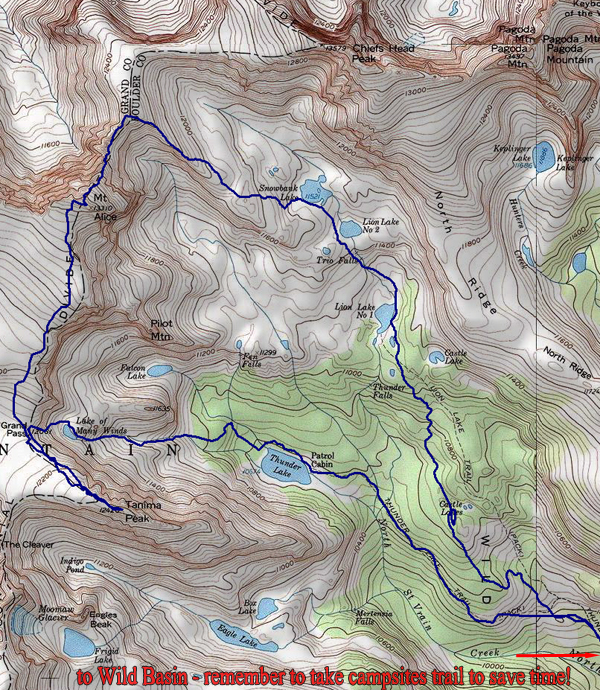
From the trailhead, follow the easy Thunder Lake/ Ouzel Falls Trail 1.4 miles to the unimproved junction for several campsites (this is a marked sign). Take the campgrounds trail to cut a mile off your day, though you avoid Ouzel Falls. At mile 3.8 (marked as 4.8 to Ranger Station on the sign, which is via the Ouzel Falls Trail) go right towards Lion Lakes. Reach Lion Lakes at mile 5.7 and the trail ends. Continue another 1.4 miles to the crest of Hourglass Ridge and then another o.8 to Alice’s summit at roughly 8 miles.
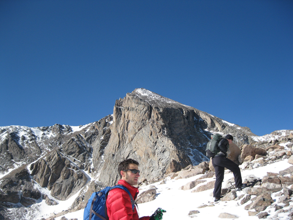
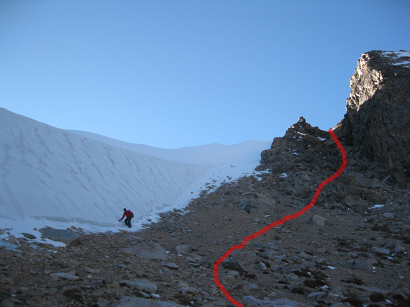
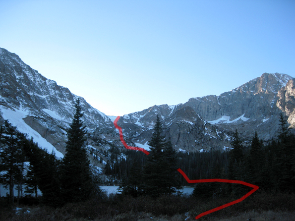
Continue south to Tanima Peak, which is an easy 1.7 mile walk from the summit of Alice. The very last section of Tanima has some easy class 3 scrambling. From the summit of Tanima, it is roughly 0.7 miles to Boulder Grand Pass. This pass has no established trails and get dicey when there’s snow. Look for a loose but easy to descend gully north of the pass that is more likely to be snow and ice free (an ice axe is recommended if spring or fall hiking). Drop down to the Lake of Many Winds, where a climber’s trail appears and disappears 1.8 miles to Thunder Lake. This is relatively easy off-trail navigation, especially if you get a good easterly bearing from the pass.
From Thunder Lake, you have a long but pleasant return via the Thunder Lake trail roughly 5.5 miles (remember to take the campsites trail on the return as well).

