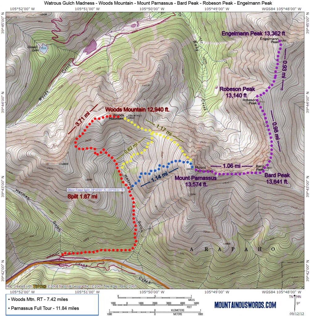
Read the Watrous Gulch 4-Pack Trip Report on Mountain Air. For a larger map, scroll down to the bottom of the write up and click on the map.
Round Trip Distance: 11.82 miles
Hiking Time:Varies – 9- 11 hours max
Difficulty:Class 2 with Off Trail Navigation
Start Elevation: 10,313 ft. at Herman Gulch
Summit Elevation: Woods Mtn. 12,940 ft – Mount Parnassus 13,574 ft – Bard Peak 13,641 ft – Robeson Peak 13,140 ft – Engelmann Peak 13,362 ft
Crowd Level:Low
GPX File:Watrous Gulch GPX
Dog Friendly?:Yes, but it can be a very long day. Beware of drop offs on west side of ridges.
Driving Directions
From either direction on I-70, take exit 218 located on the east side of the Eisenhower Tunnel. From the westbound exit, simply make a sharp right turn into the large parking area for Herman Gulch. From the eastbound exit, take a left at the end of the exit ramp, go under the highway and turn right into the parking area.
Fees & Camping
No fees are required to hike/camp in the Watrous Gulch area.
Directions & Notes
From the trailhead at Herman Gulch, start out on the well-worn trail. At 0.18 miles the trail splits. Take the right fork to the less-visited Watrous Gulch trail. Shortly after this is another split to the Bard Creek Trail; bear left and continue along to Watrous Gulch. As the trail gets a bit steeper, you’ll wind through beautiful aspen groves. Keep an eye out on the east side of the gulch for old mining cabins!
As you proceed along the trail it will begin to fade out. By the time you enter the large basin at the foot of Woods Mountain in Watrous Gulch, you’ll be on your own — no more trail! From here your options are numerous.
My favorite is to go east (right) off the trail around mile 1.8 and enter the “Ghost Forest of Parnassus”. Fallen trees distorted into a variety of spooky, sinewy twists grace the mildly steep slopes to the summit of Mount Parnassus. In the early dawn it brings to mind the eerie photos of the Ardennes Forest from World War I. It’s 1.14 miles to the top of Parnassus and you’ll gain a good deal of elevation.
From here, you can loop over to Woods Mountain (1.17 miles from Parnassus) for a nice two-pack and head home. Or keep on rolling east 1.06 miles to Bard Peak. At 13,641 ft. this is the highest peak on the route. Note that the terrain is class 2 tundra. Step lightly on the alpine grasses and flowers! Or avoid them altogether where you can. The precipitous drop-offs to the west can quickly bring a knot to your stomach as you gaze off at the 1,000 foot cliffs. Stay on the south/east sides of these peaks and you’ll be fine!
From Bard, the drop down to Robeson takes you 0.98 miles through stunning alpine meadows. In the autumn, the grass turns a deep crimson red and must be seen in person! Robeson continues along to the final summit, 13,362 ft. Engelmann in 0.93 miles. Engelmann is decorated in a surprisingly white quartz motif. Don’t underestimate how long the “four-pack” will take. It’s an ambitious day even for fit hikers. Nearly 5,800 ft. of elevation gain is nothing to sneeze at.
On the way back, you can skirt east along Robson to avoid a bit of elevation gain but you’ll likely want to go straight up over Bard and Parnassus to avoid unwieldy, off-camber slopes. Once you’ve made it back to Parnassus, the slopes between Woods and Parnassus make for the best decent route. Not only is it easier on the knees, you’ll be able to line up the faint Watrous Gulch trail with ease. If snow covers the trails, remember to stay on the west side of the gulch to return to the parking lot.
Additional Photos
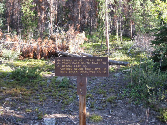
You’ll come across this sign shortly after starting the hike. Head right to Watrous Gulch!
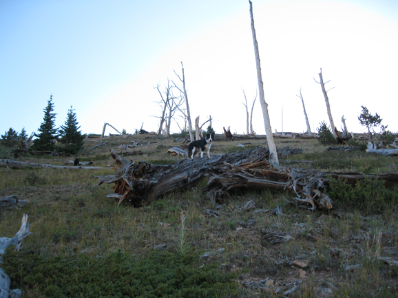
Turn off trail and head east into the Ghost Forest of Mount Parnassus.
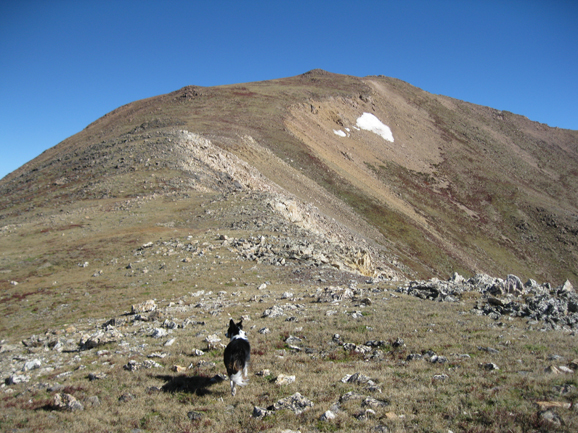
The final ridge lines up the summit of your first peak, Mount Parnassus!
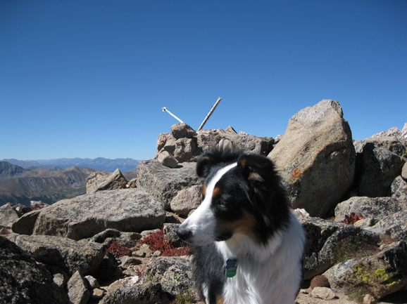
13,641 ft. Bard Peak, the highest summit of the day.
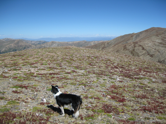
Robeson has a flat, pleasant summit.
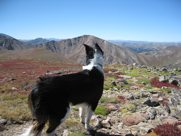
Stunning views from your final peak, Engelmann Peak.
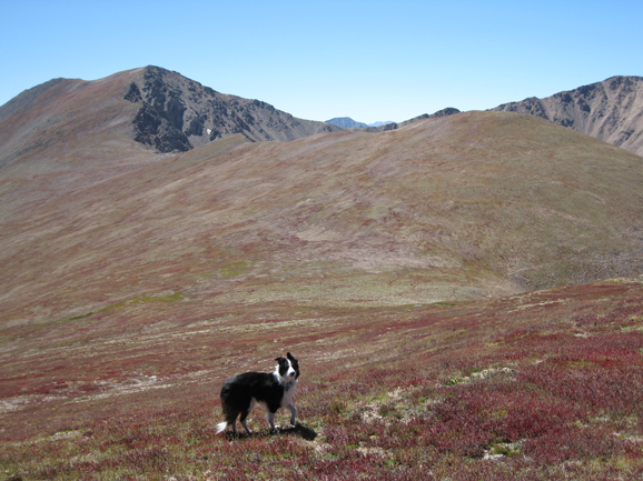
Fire-red grass adorns the slopes on the traverse back.

