Last Updated on June 30, 2016 by James Dziezynski
There are 27 mountains in Colorado bearing the official name “Bald Mountain”; the 13,684 ft. one is their king. As the highest of the Balds, its also likely the baldest — when hiked from Boreas Pass, there is only a smattering of trees before breaking into alpine tundra. Despite easy trailhead access and proximity to Breckenridge, not many people visit its lofty summit — which is a shame, because the views are among the best I’ve seen in Colorado.
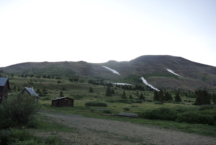
Bald Mountain has a fine trailhead at the top of Boreas Pass. The “Section House” here was built in 1882.
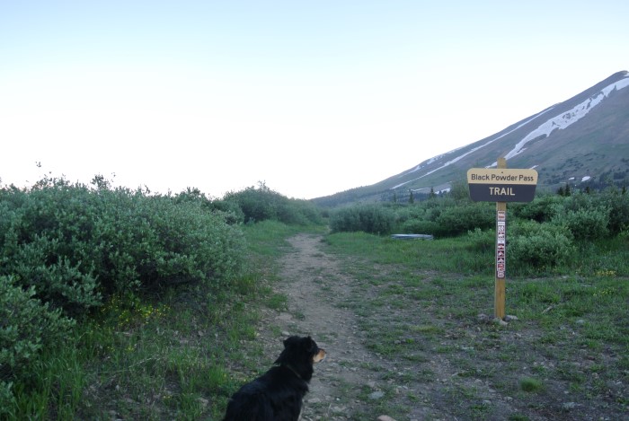
The way up to Black Powder Pass is clearly marked.
Maybe it’s the mundane and uninspiring name that keeps people from hiking the 156th highest peak in Colorado. Even when viewed on a topographic map, it doesn’t seem to have terribly exciting stats: 6 miles round trip (from the summit of Boreas Pass), a humble 2,700 ft. of elevation gain and a rounded, undramatic summit ridge.
I’m here to make a case for Bald Mountain — I loved it.
A quick note: our goal was to hike both Bald and neighboring Boreas Mountain (13,082 feet) but weather came in very early, so only got to top out on Bald. Tacking on Boreas is a very reasonable day-hike adventure, adding about 2 miles to the hike and another 900 total feet of elevation gain.
We began our hike from the summit of Boreas Pass at 11,450 ft., where we had car camped the night before at the Section House parking lot. Section House is an old, restored building constructed in 1882 to house workers who patrolled the railroad that used to run up Boreas Pass. Nowadays, it is used by the 10th Mountain Hut Division as a winter ski hut — and by about 1,000 flustered moths as a place to get trapped (seriously, there’s going to be a moth graveyard inside the cabin in a few weeks).
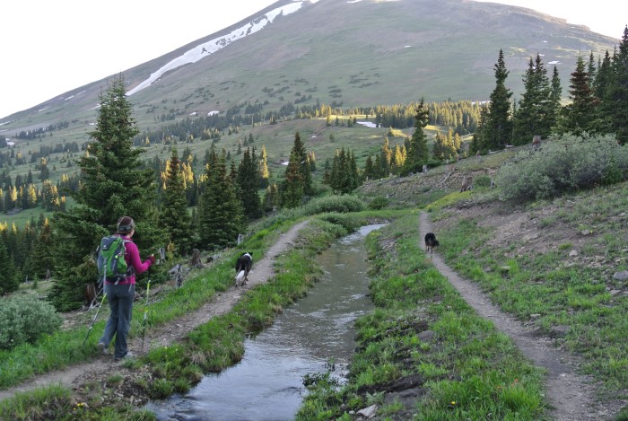
The Boreas Ditch #2 is perfect for water-loving dogs.
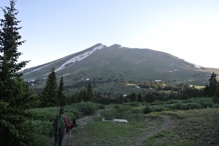
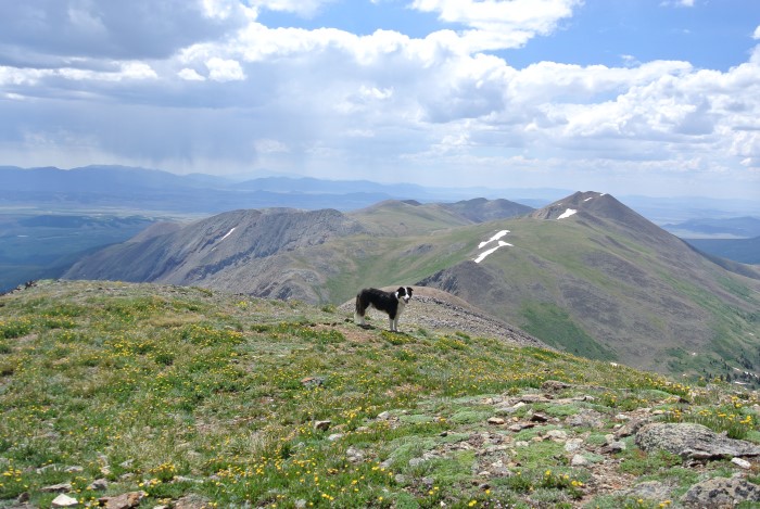
Bald Mountain’s false summit (1 of 2) in the early morning light.
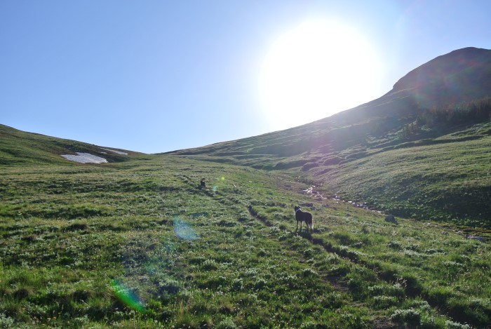
Black Powder Pass is much prettier than its smoky name implies.
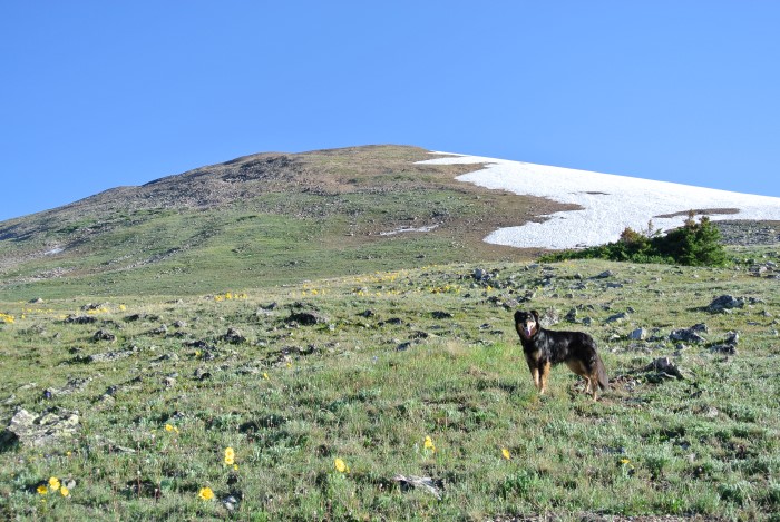
Lots of flowers in bloom!
There is a well-worn and well-signed trail to Black Powder Pass that follows Boreas Ditch #2, a pleasant canal that the dogs loved. Killer views started as soon as we popped out of the sparse treeline and got better the higher we went: the Tenmile Range to the west, the Front Range to the east and the towns of Breckenridge and Frisco below.
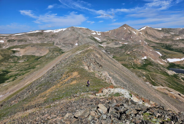
Note that the highest point you can see at this point from Black Powder Pass isn’t the top of Bald Mountain. It’s not even the false summit. It’s the false summit’s false summit! Turn left (north) and get ready to grind.There’s no trail to the top, though there are a few cairns and an intermittent pseudo-trail that comes and goes. In general, staying high on the ridge is the idea — it’s all class 2 terrain, with a bit of modest talus hopping.
From the pass, it’s 1.1 miles to the first false summit but you’ll gain 1,500 vertical feet in that time. Urgh. It’s interesting to note that the “South Summit” is 13,679 ft. — a mere 5 ft. lower than the true summit a little over a half-mile away. There are some more ups and downs to reaching the highest point and once again, you’ll probably be tricked into thinking you’re at the top when you reach the shoulder of the summit plateau — false summit #2!
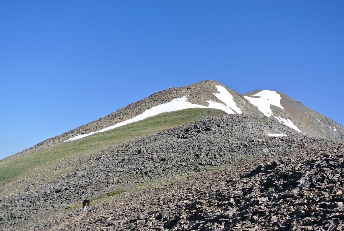
The grind begins when the trail ends.
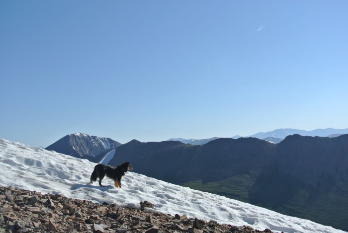
The snow is a welcome change from the rocky talus. Mystic looks out with Mount Guyot in the distance.
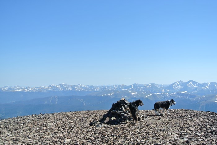
Point 13,679 is a mere 5 feet short of being the highest point on Bald Mountain.
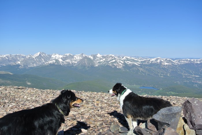
Great views of the Tenmile Range from Point 13,679!
Luckily, it’s a straightforward walk. You can fabricate a little class 3 scrambling by staying dead center on the ridge, but there are always obvious class 2 walk-arounds. At 3 miles, you’ll top out at 13,684 ft. with spectacular views all around — Mt. Guyot to the east and the full spread of Breckenridge to the west. Mild-mannered 14er Quandary Peaks looks pretty fierce from this perspective to the southwest! You’ll also see the high dirt road to the north and a few buildings (of the Carbonate Mine?) — an alternative way to the top.
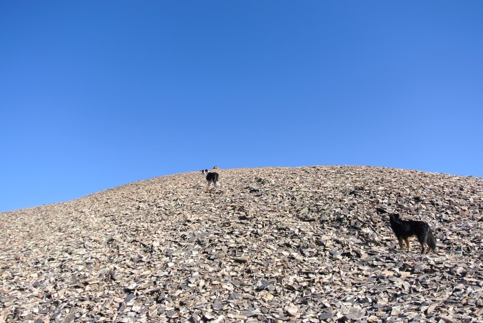
It’s rocky up here! Note the faint trail.
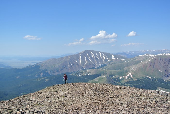
Sheila about to reach the first false summit at Point 13,679.
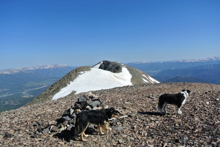
Ah, so THERE’S the real summit!
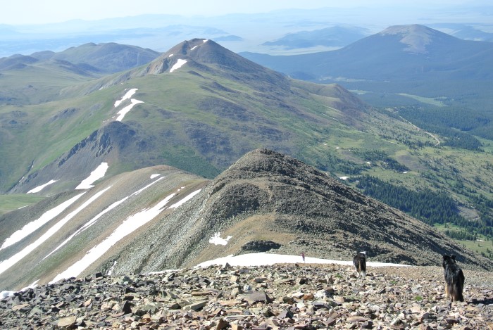
Looking back the way we came with Boreas Mountain in the background.
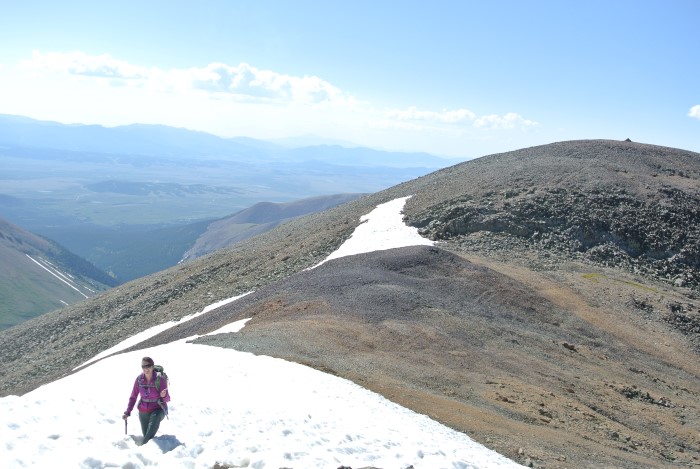
More snow on the traverse!
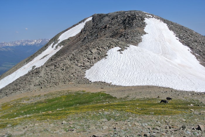
A flower-festooned saddle just before the true summit.
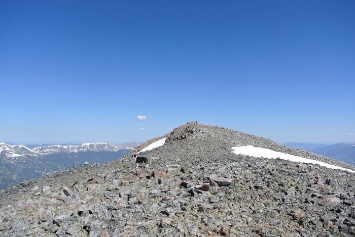
Fremont is almost there!
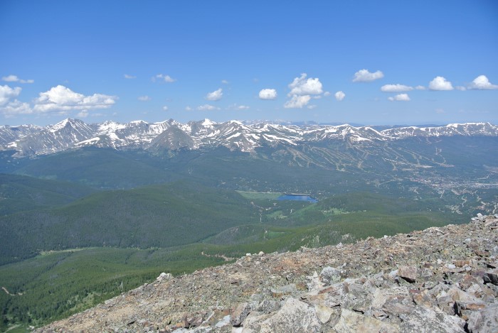
Good views of Breckenridge Ski Area.
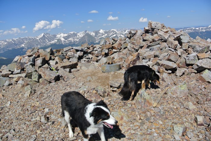
The pups of course reached the summit first.
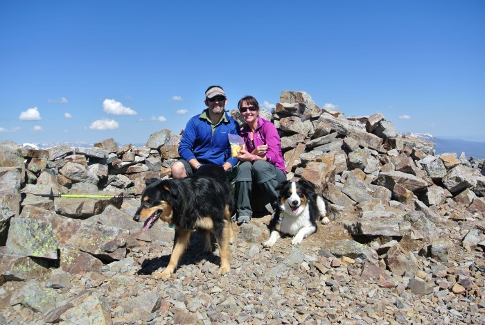
Group shot on the summit of Bald Mountain, 13,684 ft.
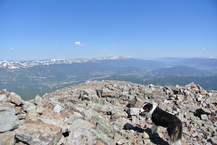
What a glorious landscape!
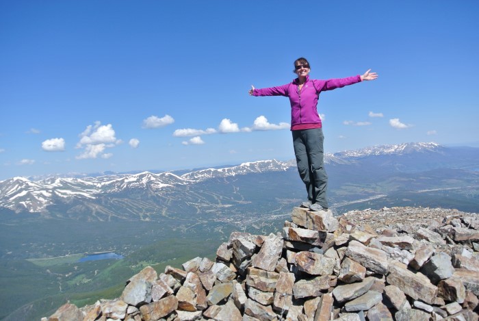
Sheila is on top of the world! Or at least Bald Mountain.
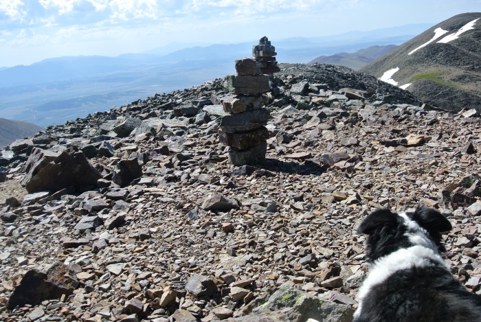
Neat summit cairns!
Return the way you came. Don’t be fooled by the modest mileage and humble elevation gain. You’ll be adding a bit more uphill to regain the false summits (or alternatively, skirt around them, though this may be more work on the loose scree). There’s about 2,400 ft. in total vert gain.
We hoped to go over to 13,082 ft. Boreas Mountain next, a mere mile from the saddle of Black Powder Pass on a semi-established trail, but alas weather blew in (at 10:45 AM, much earlier than normal). The traverse to Boreas adds another 900 vertical feet and 2 total miles there and back to the pass — a perfectly reasonable day if you are exempt from storms.
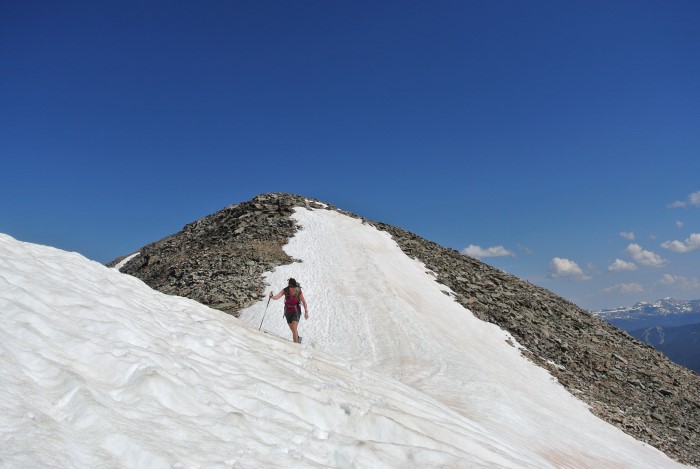
The return along the ridge.
Uh-oh. Storms are brewing a bit too early!
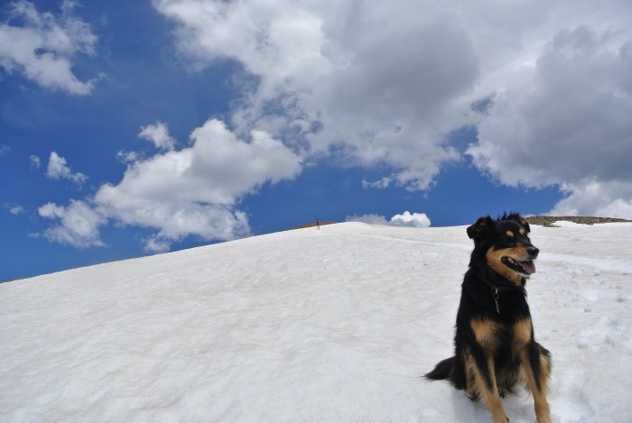
My artsy shot of Mystic and Sheila. This could be their album cover.
Bald was a lot of fun and a bit more work than it initially seemed. The Boreas Pass area is rich with history and thankfully trashed with mining ruins like some parts of Colorado. The pups had a blast and the driving access was easy (you can even bail over the other side of Boreas Pass to return to the metro area via US 285!) Passenger cars can drive the entire pass in 2wd, though there will be a few bouncy spots.
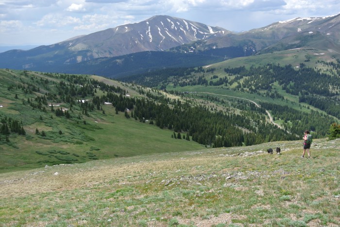
Almost done…
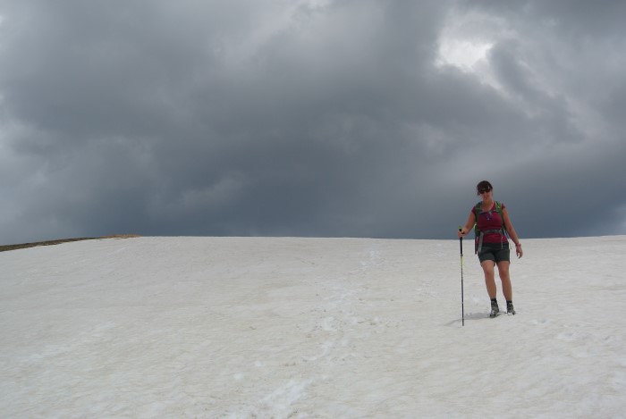
The storms moved in mighty fast!
I’m looking forward to a return trip to snag Boreas Mountain and Mount Guyot soon — both are quality mountains with fun routes.
Directions
From Breckenridge, go up the well-maintained dirt road to the summit of Boreas Pass (safe for passenger cars). Hike the Black Powder Pass trail to the saddle, then turn left (north) and follow the sloping ridge to the summit. Return the way you came. 6 miles round-trip with about 2,600 feet of elevation gain.


