Last Updated on January 8, 2014 by James Dziezynski
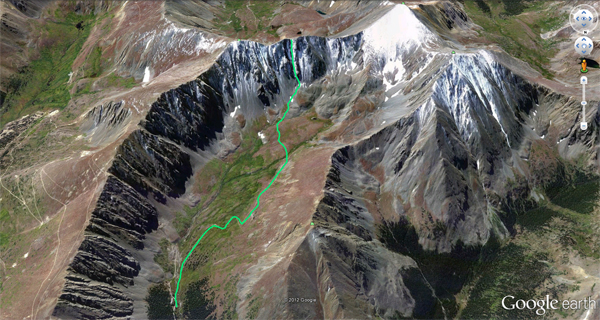
A Google Earth view of our route on Goatfinger
In late December 2011, I took the dogs out on a Goatfinger Couloir scouting trip. As the premier north-facing route up to 13,856 ft. Mount Edwards, Goatfinger is nonetheless scarcely climbed despite its relatively easy access. Part of the blame is that the much more glamorous 14er Torreys Peak is in the same neighborhood — and features a better climbing route, the Dead Dog Couloir. Goatfinger has a reputation for loose rock, nosy mountain goats and steep exits. The only way to find out was to climb it.
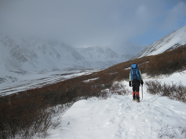
The standard approach to Goatfinger out of Stevens Gulch.
Sheila and I headed out on April 14, 2012 (my birthday!), thanks in part to an incredibly dry winter. Normally, April would be a bit early for couloirs to feature ideal conditions but 2012 was not a normal year. The snow level was so low, we were concerned about the 55 degree exit — which proved to be a valid concern.
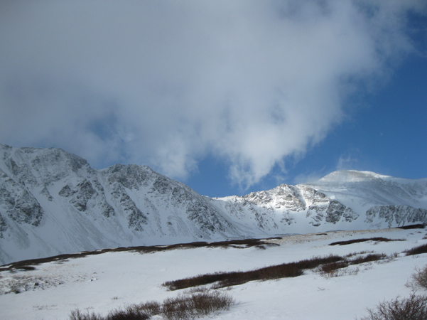
The sun lights up the top of our exit saddle to the right of Goatfinger.
The lower part of the climb was quite good, with well consolidated snow and steepness starting about 30 degrees and going up from there. The problem was the steeper it got, the less snow there was. About 200 vertical feet from the top, we were scrambling on loose, exposed rock and hard ice, a messy combination. The angle was over 50 degrees now and there was nothing left to do but claw up. A rope wouldn’t have been much help. Even though we topped out from a 55 degree slope, the fall danger wasn’t too bad. That being said, I would *not* have wanted to descend Goatfinger without adequate snow at the top.
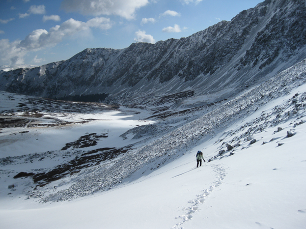
At the base of Goatfinger.
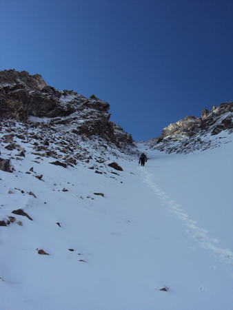
Snow at the bottom of the couloir was very nice. That was about to change.
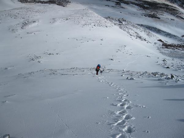
Same picture, opposite perspective!
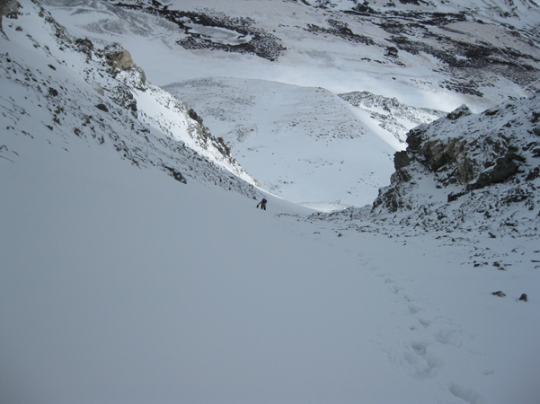
Now it's getting steep!
From the summit saddle, the walk over to Edwards is a class 2+ scramble that ends up being a bit more work than it looks like on the map. To descend (at least in the conditions we had) I’d suggest sucking it up and walking over to the shoulder of Grays Peak and taking the standard hiking trail down. We however opted to descend via the saddle between the shoulders of Edwards and Grays. If it was filled with snow, it looked like a great ski line. Of course, it wasn’t. We slid down on the same rocky, exposed mess we encountered on Goatfinger though at a slightly lower angle. About halfway down the snow was thick enough to glissade… sorta. I ended up hitting a “speed bump” and tore a fatal hole in my 15 year old EMS Goretex pants. Alas, they served me well.
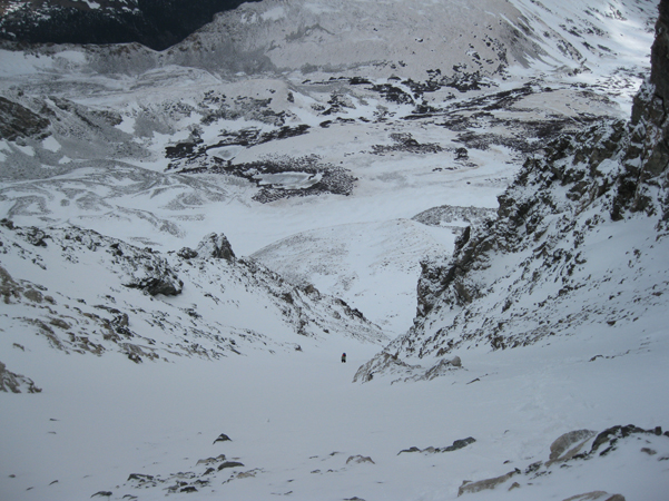
Picture taken from the start of the lousy, exposed rock.
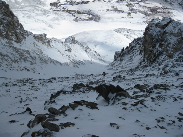
The 55 degree exit is sketchy but not desperate. Claw your way to victory!
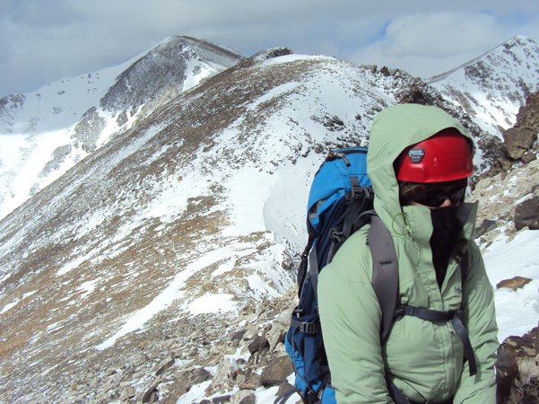
Sheila tops out and looks like she's climbing Everest! Behind her is the lower shoulder of Grays which is a viable (and preferable) class 2 ridge over to the normal Grays trail.
Once we got to the valley floor, the walkout was a piece of cake. Our best strategic move was renting a hut at the Stevens Gulch Trailhead, which made the return much more pleasant. Under better conditions, I have no doubt Goatfinger is a great climb and solid ski couloir. Under worse conditions, I can see it being a miserable scramble up loose, unstable rock. Our climb was somewhere in the middle, which is good enough for me. Fair thee well Goatfinger, on to other adventures…
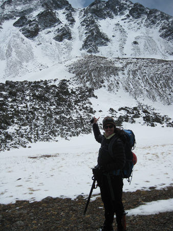
Sheila points out our tracks on the way out!

