Last Updated on January 8, 2014 by James Dziezynski
Though I had already been up Tabeguache twice, it remained an elusive 34th 14er for my friend Jenny. When we charted out a new route from the now-closed Jennings Creek access point, I was ready to visit the top of ol’ Tabby for a third time. As a bonus, I wanted to snag 13,633 ft. Carbonate Peak, not only a new mountain for me but by traversing from Carbonate to Tabguache, we would avoid the wilderness area in Jennings Creek that is closed for restoration. Bart D and Arvind M rounded out a strong crew.

Our route starting with Carbonate and traversing over to Tabeguache. If done again, I would ascend the right side of the gully on Carbonate and descend the full south ridge on Tabeguache.
~*~

Our tracks on the Google Earth map. Total mileage was 8.7 miles almost all off-trail with just under 5,000 feet elevation gain total.
We had a stunningly clear day, quite warm for October. Having slightly misjudged the start of our hike (we began at the Great Cyclone Creek instead of Jennings Creek) turned out to be a good choice — it set up a much better route for us. We topped Carbonate, headed over to Tabeguache and down. The only lousy part of the day was we descended yucky talus slopes rather than walk out the ridge of Tabeguache, but live and learn. I have the full set of pics on my Facebook Page from this hike, but here’s a few for the blog.

Jenny and Arvind ascend Carbonate with Calico Mountain in the background.
~*~

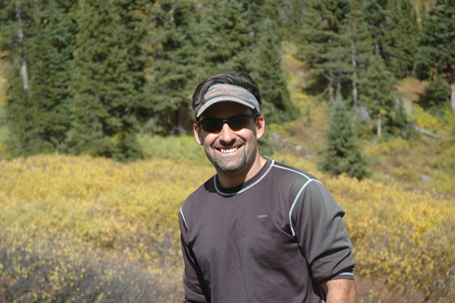
L to R: Bart, me, Jenny and Arvind on the summit of 13,633 ft. Carbonate Peak.
~*~

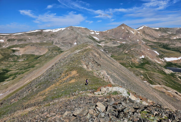
Bart hits the traverse between Carbonate and Tabeguache.
~*~

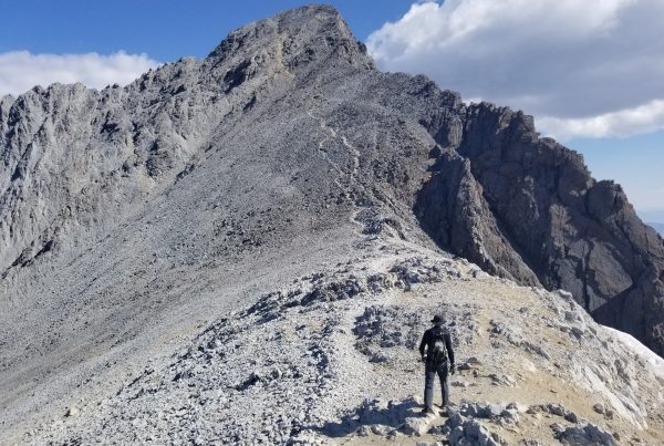
Arvind about to summit 14,155 ft.Tabeguache.
~*~

Balancing on the highest point of Tabeguache.